Blog
All Blog Posts | Next Post | Previous Post

 Never get lost again with TMS FNC Maps!
Wednesday, April 1, 2020
Intro
After all our experience with TMS FMX/VCL WebGMaps & WebOSMaps, and the latest and greatest technologies we've been working on in FNC & WEB, we thought by ourselves what would be the next logical step? We wanted to feel the power of dynamically switching between various mapping services on mobile. We wanted to have access to step-by-step directions in a browser. We wanted to have an out of the box, worry free experience to provide mapping, directions and geocoding in one big library/component set that works on 4 frameworks and a lot more operating systems.We wanted to create a component where you are not tied to a fixed mapping service provider but make it as easy as changing a property to switch to another provider. When a provider raises prices, reduces functionality or when another provider starts providing better routing, change one property setting in your application and you are up & running with another mapping service provider.
Cross-framework, cross-platform, cross-service
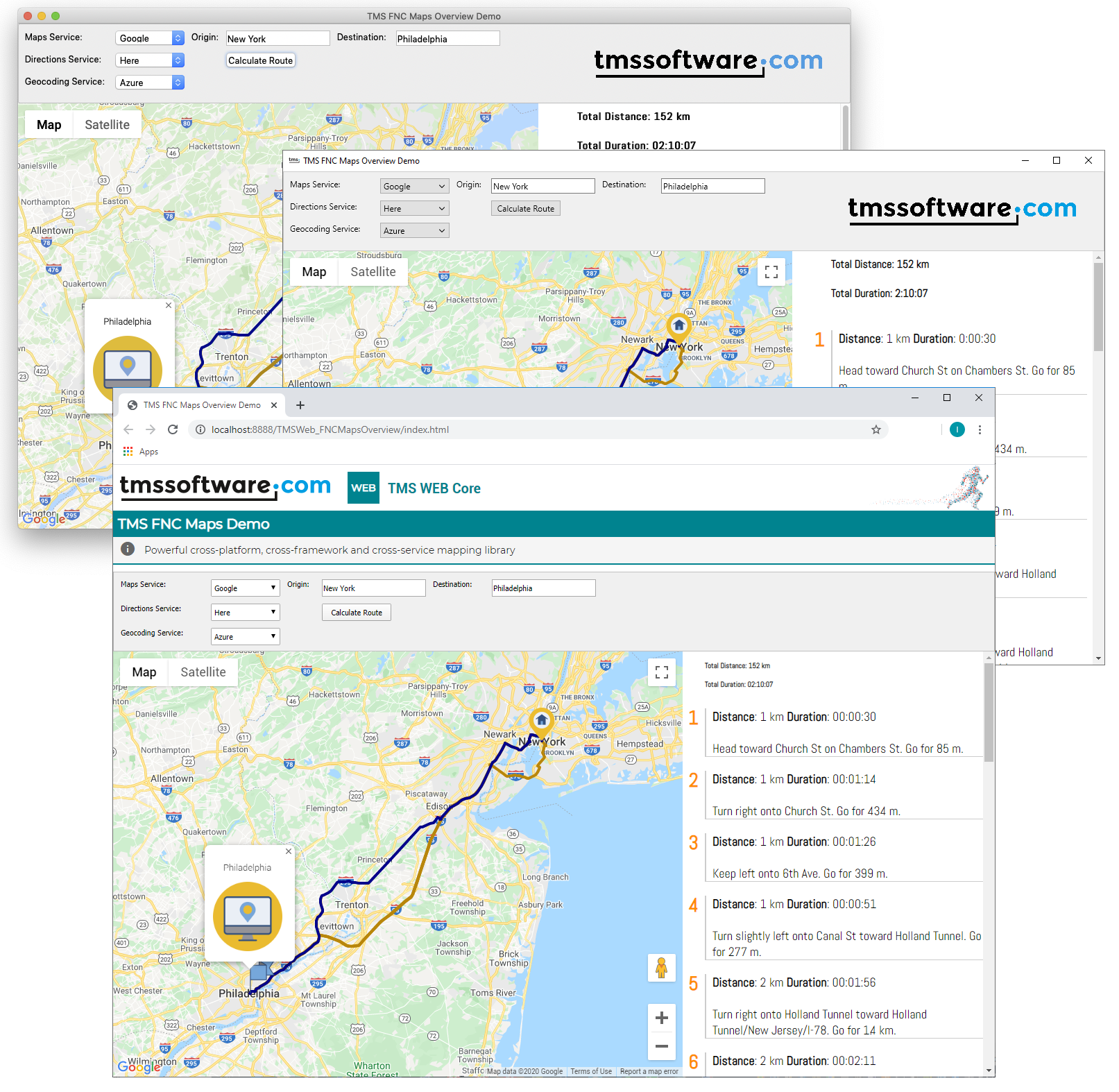
Introducing for the first time ever: TMS FNC Maps! You all know how the saying goes:"A picture says more than a thousand words"

And as a cherry on the cake, we've created a video that shows a quick overview of what TMS FNC Maps has to offer and which features are supported.
Supported services & features
Below is a list of features and services that TMS FNC Maps supports. As said in the video, with these features we aim for 1.0, but 1.0 is just the beginning, and many more features and map services will be added in the future. Please let us know if you have a service or feature of a specific service that you want to see available in TMS FNC Maps.List of services for mapping, directions and geocoding
 Google
 Here
Here Microsoft Azure
 Microsoft Bing
 TomTom
 MapBox
 OpenLayers
List of features
- Directions/Routing (TTMSFNCDirections)
- Options for configuring alternative routes, step by step directions, …
- Geocoding (normal, reverse) (TTMSFNCGeocoding)
- Getting current location (TTMSFNCLocation)
- Maps (TTMSFNCMaps)
- Polylines
- Polygons
- Markers
- Circles
- Rectangles
- Zooming, centering
- Loading GPX, GeoJSON
- Various Events
- Google Maps (TTMSFNCGoogleMaps)
- Inherits from TTMSFNCMaps
- Load KML
- Editing of polylines, polygons, circles and rectangles
- Dragging of markers
- Traffic
- Themes (Night, …)
FNC
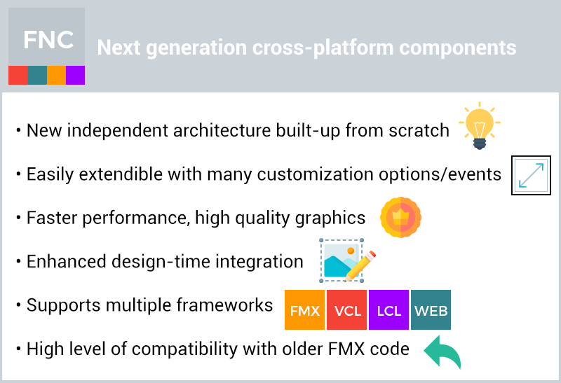
Please remember, TMS FNC Maps will be part of the FNC family and FNC is a cross-platform / cross-framework component library. Write your code once and target multiple operating systems!
Breaking changes!
To get the best out of TMS FNC Maps and make all of this work together we've introduced breaking changes and moved the TMSFNCCloudBase unit from TMS FNC Cloud Pack to TMS FNC Core. This means that each FNC product will have access to this unit and this allows you to consume your own REST service, download/upload files without the need for TMS FNC Cloud Pack.Stay tuned!
More is coming in the next days, weeks and we are currently hard at work to make a 1.0 available as a BETA to all TMS ALL-ACCESS users, so stay tuned!, and again, feedback is highly appreciated so don't hold back!Pieter Scheldeman

This blog post has received 7 comments.

 2. Wednesday, April 1, 2020 at 2:10:09 PM
Hi Stephan,
2. Wednesday, April 1, 2020 at 2:10:09 PM
Hi Stephan,We have focused on getting abstract features working. We also provided a TTMSFNCGoogleMaps descendant to provide features such as Theming, Traffic, built-in KML layers which are specific for Google Maps. We are planning on collecting feedback and then decide if we are going to create descendants for all other services or if there is a common feature that we''ll integrated in the abstract TTMSFNCMaps. The WMS layer is currently not supported in OpenLayers, but could be an addition in one of the next versions.
Pieter Scheldeman
 3. Wednesday, April 1, 2020 at 8:50:50 PM
This is very exciting coming from someone who needs to move off of TMSVCLWebGMaps. We primarily use Geocoding, Pin Placement (on multiple layers if possible), and a touch of Directions.
 Will these be our logical upgrade path, or will there be a VCL only version of this?
Will we be able to buy this stand-alone or do we need to buy the TMSFNCCloudPack / Core?
Frontline

 4. Wednesday, April 1, 2020 at 8:57:20 PM
FNC works fine in VCL applications, so you will be able to use this in your VCL applications.
4. Wednesday, April 1, 2020 at 8:57:20 PM
FNC works fine in VCL applications, so you will be able to use this in your VCL applications.This will be available as a stand-alone product.
Bruno Fierens
 5. Wednesday, April 1, 2020 at 11:51:40 PM
Nice. ETA?
Dirk Carstensen
 6. Thursday, April 2, 2020 at 5:13:20 AM
Does this leverage the [new] browser component? Previously I thought FNC was Canvas-based, making such mapping sorcery challenging to say the least?
6. Thursday, April 2, 2020 at 5:13:20 AM
Does this leverage the [new] browser component? Previously I thought FNC was Canvas-based, making such mapping sorcery challenging to say the least?My hope is for Cesium, any hope of it in 2020? https://cesium.com/cesiumjs/
Thanks!
Anthony Eischens

 7. Thursday, April 2, 2020 at 9:56:57 AM
It does leverage Edge Chromium on Windows.
Bruno Fierens
All Blog Posts | Next Post | Previous Post
I sread that there is support for OpenLayers. Does that mean that there is support for WMS?
Hennekens Stephan